
Passaic ZIP Code Directory Coverage
The primary verified Passaic ZIP association in the inspected official sources is 07055. That is a sound starting point, not an exhaustive city-wide list. The live USPS By City and State result for Passaic, New Jersey was not captured in the research, so it cannot support a claim that every current delivery ZIP has been listed. A current address should always be checked through USPS before a ZIP is attached to a parcel or municipal record.
| ZIP | Areas Covered | Post Office | Notes |
|---|---|---|---|
| 07055 | Official local source identifies Passaic | Passaic Post Office | Verified primary Passaic association; confirm each delivery address live |
| 07057 | Official destination source identifies nearby Wallington | Not established in the inspected source | Not a claim of Passaic coverage |
That distinction keeps the ZIP code directory honest. The table reports what the official material establishes, while a live street-address result answers the postal question for one location. Neither row establishes an address boundary for every property.
Before treating a ZIP as current, run USPS By Address for the actual street line. A live result may refine the returned city, request a unit detail, or show that a broad place-name assumption was too loose. Preserve the answer as it appeared on the date searched. That record of the result is more reliable than copying a ZIP from a map label, historical document, or secondary list.
Note: The inspected research supports 07055 as Passaic's primary association, not an exhaustive list of current delivery ZIPs.
USPS Passaic ZIP Code Results
USPS is the first source for postal formatting. Its lookup can standardize a city, state, and ZIP combination, or ask for more detail when an address is not specific enough. It does not confirm that a person, company, or institution is at an address. Save the returned line and the date searched, especially when an assessor, deed, historical directory, and postal result spell a street or destination differently.
The USPS ZIP Code Lookup offers the official address, city/state, and ZIP routes.
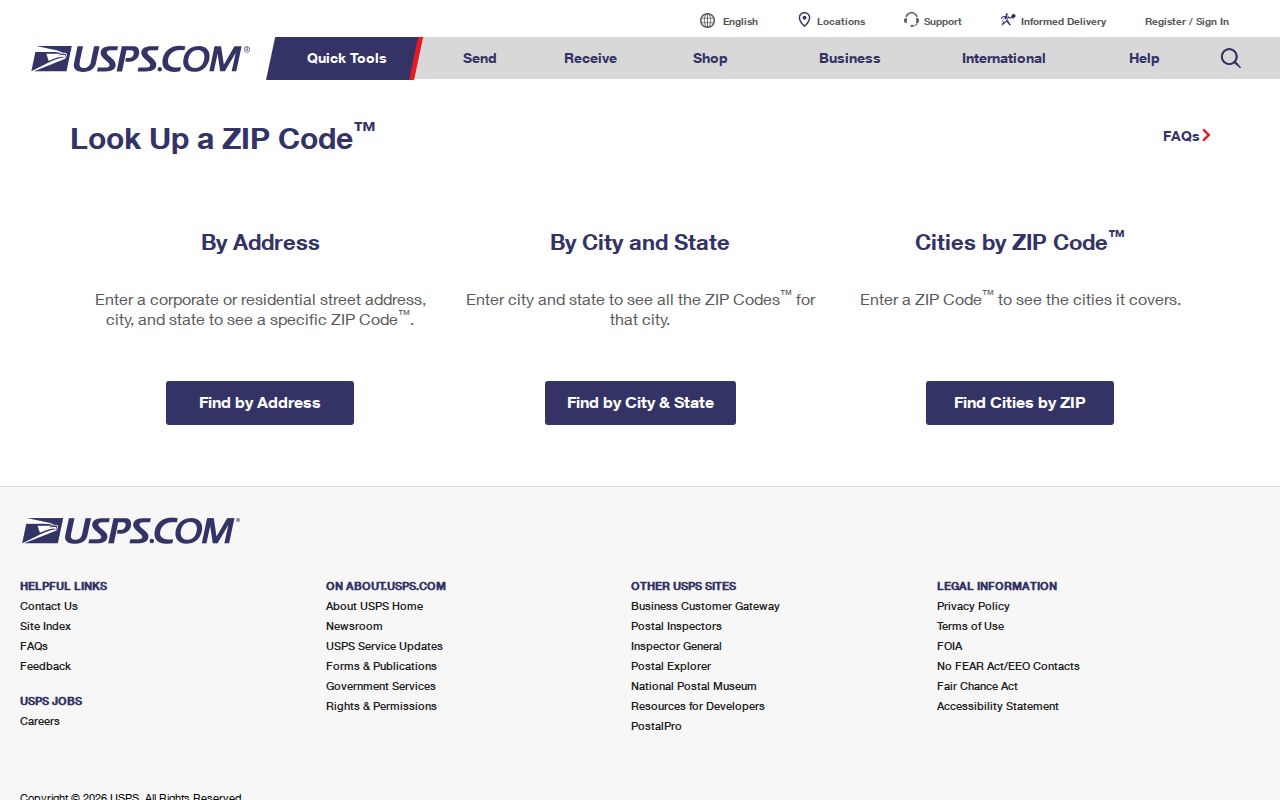
Use the standardized postal line as a crosswalk input, not as evidence of a municipal border, property right, or current resident.
Passaic ZIP Code Post Office
The USPS facility listing connects the verified 07055 association with the Passaic Post Office at 46 Grove Street, Passaic, NJ 07055-9998. It lists 973-779-6758 and retail hours of 8:30 a.m. to 5 p.m. Monday through Friday, plus 8:30 a.m. to noon on Saturday. The same listing separates postal retail from post-office-box access. Those hours and access categories can change, so use the live listing for a current transaction question.
The USPS Passaic Post Office listing is the official local facility record.
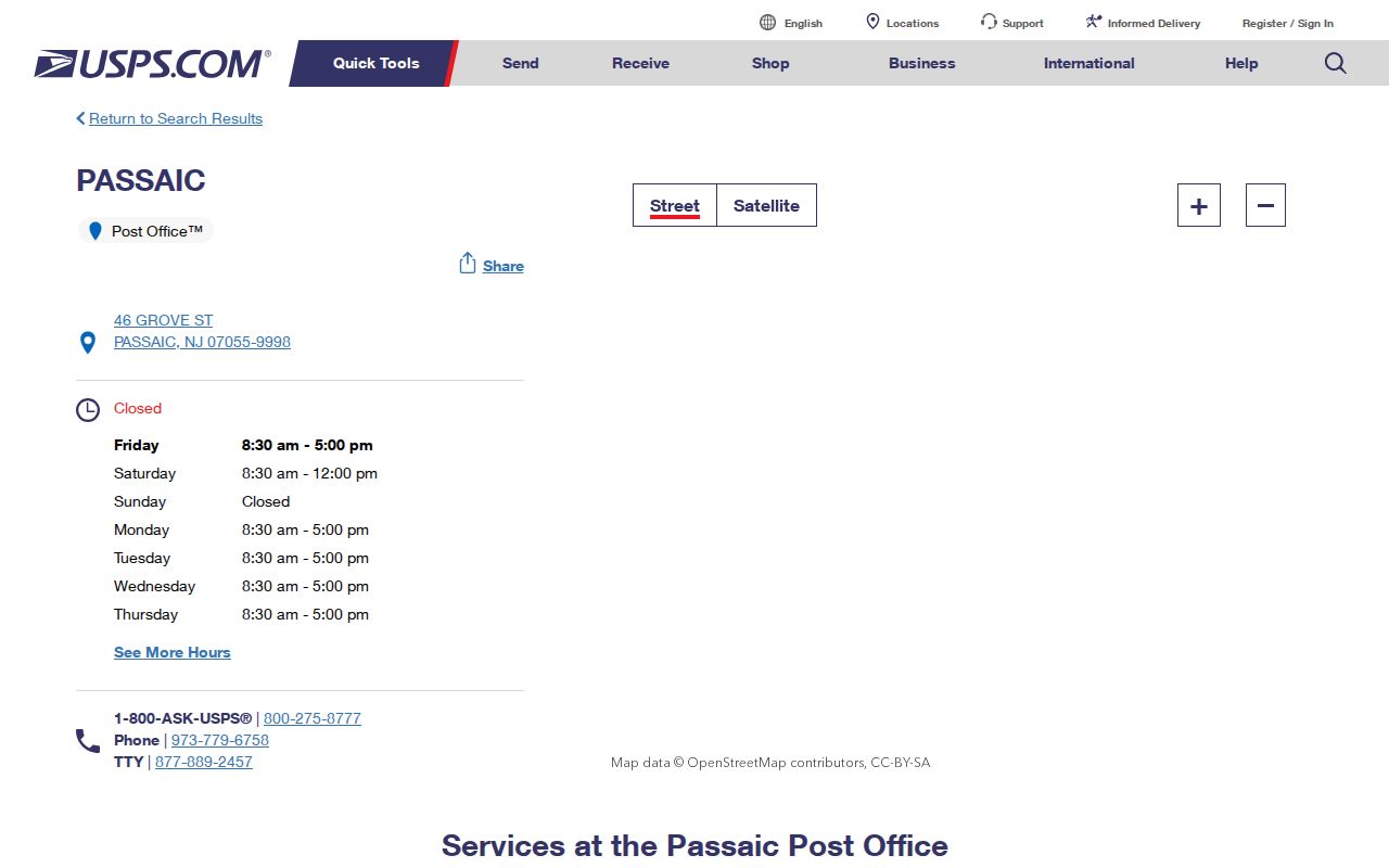
The facility record supports the local postal association, while the ZIP lookup remains the better tool for validating a specific delivery address.
Passaic ZIP Code Input Fields
Choose the USPS mode that matches the information in hand. The address route is best when a street number is known. The city and state route can narrow a broad postal question. Cities by ZIP begins with a ZIP code, but it still describes postal destination information rather than local governmental limits.
| USPS mode | Required fields | Optional fields | Use |
|---|---|---|---|
| By Address | Street Address; City and State | Company, Apt/Suite/Other, ZIP Code | Standardize a specific mailing address |
| By City and State | City and State | None captured | Check postal destinations tied to a place name |
| Cities by ZIP | ZIP Code | None captured | Check the postal city information for a ZIP |
Apartment, suite, and other unit information can matter because an incomplete line may not resolve cleanly. Record exactly what USPS returns. Do not fill in a person, business, or building location that USPS did not confirm.
When only a ZIP is known, the Cities by ZIP route can supply a postal destination name, but it cannot settle a municipal or parcel dispute. When only a place name is known, the By City and State route is a prompt for live verification, not a license to publish every result as a city coverage list. The full address remains the strongest postal input.
Passaic ZIP Postal Crosswalk
After USPS returns a standardized line, compare the governmental location through the County GIS parcel service. The GIS layer is called “Parcel Block Display Publish 2023” and exposes PAMS_PIN, municipality, block, lot, qualifier, and parcel last-update fields. It gives geographic and parcel context, not an owner-name search. If a street address and municipality do not line up, preserve both versions and identify the source that supplied each one.
The City-linked TaxDataHub assessment search accepts owner, property, and block/lot/qualifier inputs, but its ZIP field was not captured as a search option. Use it after postal normalization for property context only. Then consult the Clerk if a recorded instrument is needed. The County parcel service supplies the official map-layer context.
For a reproducible note, keep the USPS standardized line, ZIP, postal city, lookup date, PAMS_PIN, municipality field, block, lot, qualifier, and the date of the GIS or assessment search. The same address may be written differently in an older directory or on a recorded instrument. A crosswalk is a way to document those variations, not a reason to overwrite a historical wording or infer a person at the location.
Note: GIS geometry gives local context, while the Clerk's instrument index and the assessment display each answer different record questions.
Passaic ZIP Code History
A historic postal notice is not a current delivery answer. A 2016 USPS Postal Bulletin records destination changes involving 07055, 07057, 07074, and 07075. The notice identifies the latter two as changing destination treatment to Rutherford. That history explains why an older directory, mailing label, or search result may not match a live USPS result.
The Postal Bulletin notice preserves the dated change context.
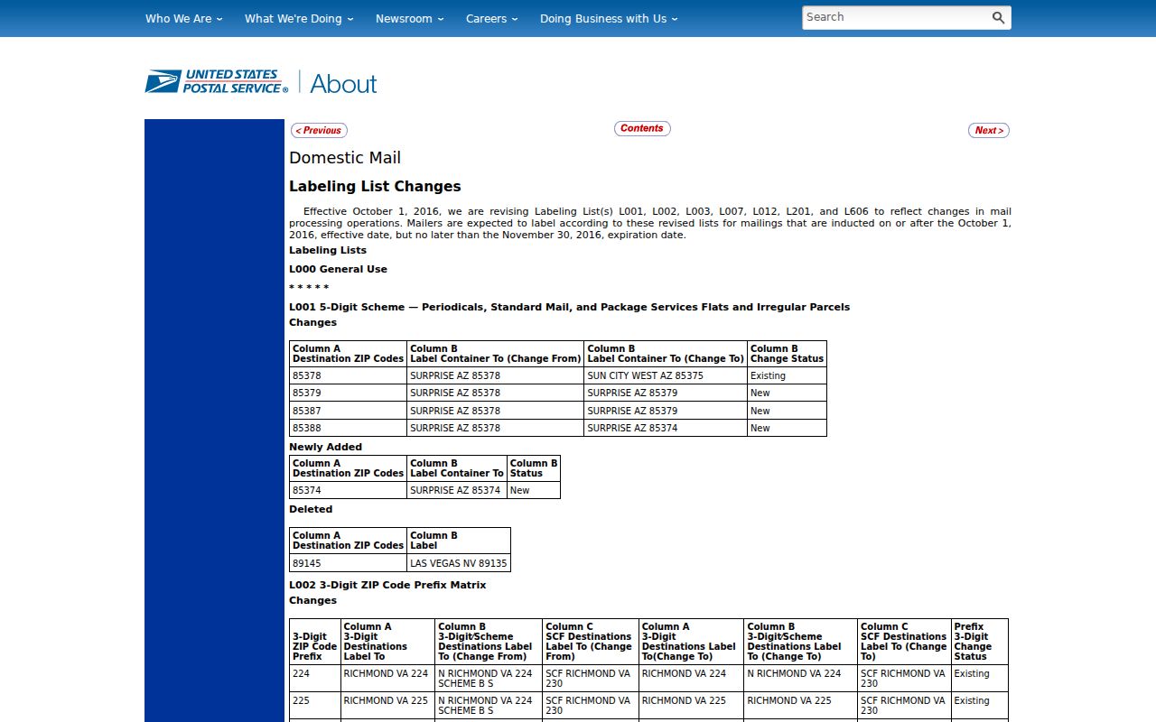
Keep the bulletin date beside any historic ZIP note and rerun USPS for a current street address.
Finding Passaic Residents by ZIP
A ZIP narrows an address question, but it does not create a public roster of people. Use it to make the address consistent first. When the question then becomes street-specific, use the Passaic Street Directory for the separate address-record workflow rather than treating postal data as a household list.
- Enter the full street address, including an apartment or suite when relevant, in USPS By Address.
- Save the returned postal line and search date, then compare the municipality and parcel through County GIS.
- Use the City-linked assessment search only for its displayed parcel or owner fields, with the record date noted.
- For voter-list research, request the specific election, list type, municipality, ward, district, format, and date from the County Elections Division.
New Jersey's individual voter-status check has a live form whose exact inputs were not captured in the research. County list copies are a different records product and may carry a fee, advance-request requirement, and statutory redactions. A ZIP is not a substitute for the election's municipality, ward, or district. Request only the record product that answers the stated research question.
Passaic ZIP Code Search Limits
Postal formatting cannot prove a person lives at an address, a company operates there, or a parcel lies inside a city. A ZIP can include delivery routes that do not follow municipal lines. A city name shown by USPS is a mailing destination. A County GIS municipality field is a governmental geography. An assessment entry has its own date and owner role. Each source can be useful, but only for the fact it actually publishes.
Passaic ZIP code searches also need a time check. A historic directory can record an old street name, a postal notice can record a destination change, and a parcel service can show a current geometry. Keep the date that belongs to each source. If a result does not resolve, vary one item at a time, such as a street suffix, unit detail, or historic spelling, then return to the official source.
Use the narrow record. Keep postal, parcel, voter, and court data in their original contexts. Do not compile address results into a list for harassment, stalking, or unwanted contact.
Note: A matching ZIP Code is a postal clue, not proof that a person or organization is currently at an address.
Passaic ZIP Code Boundaries
A ZIP code directory must separate postal delivery from city limits. USPS answers which line it recognizes for mail. County GIS answers a municipality and parcel question. A recorded instrument can identify a municipality, block, and lot. If a postal city, local label, and parcel field disagree, do not silently choose one. Keep the returned postal city, the municipality value, the parcel identifier, and the source date together.
- ZIP Code
- A USPS delivery-route code used to help sort and deliver mail.
- ZIP+4
- An added four-digit segment that narrows a delivery location beyond the five-digit ZIP Code.
- PO Box ZIP
- A ZIP associated with post-office-box service rather than a physical delivery boundary.
- ZCTA
- A Census statistical area built from ZIP-related geography, not a USPS address boundary.
These terms are deliberately narrow. A ZIP Code and ZIP+4 help USPS route mail. A PO Box ZIP describes a postal service category. A ZCTA helps the Census describe statistical geography. None is a substitute for the municipality, parcel, or instrument field that a different local record system supplies.
ZCTA Limits for Passaic ZIP Codes
The Census Bureau explains that ZIP Code Tabulation Areas are generalized statistical areas. They can be noncontiguous and may represent unique or post-office-box ZIPs. They are useful for geographic scale, but they do not replace a live postal lookup or an address-point boundary. The research did not establish 07014 as a current USPS city-state delivery ZIP for Passaic City, even though Census search context referenced it.
Census QuickFacts gives Passaic City a 2020 Census population of 70,537 and a 2025 population estimate of 71,337, with about 3.1 square miles of land in the inspected context. Those numbers help describe the city at a broad scale. They do not define a delivery route, settle a street-level question, or turn a ZCTA into a postal boundary.
Census ZCTA guidance explains why a statistical area should not be used as a delivery map.
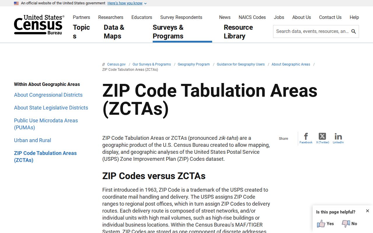
For Passaic, use Census for statistical geography, USPS for delivery formatting, and County GIS for parcel context.
Note: A live USPS result should control a current mailing-format question, even when a Census geography appears similar.