
Passaic Previous Residents Sources
Previous residents of a Passaic address are best researched as a dated trail. A recorded deed shows a transaction and its party roles. A historical directory may place a name at a street in the year the volume was compiled. A map can show buildings and street form, while a newspaper can add an event or institutional connection. None is a complete list of people who lived at the address.
| Source | Years It Covers | Where Held | What It Shows |
|---|---|---|---|
| County Clerk online index | December 1, 2000 to present | Passaic County Clerk | Recorded instrument references by search mode |
| Deed and mortgage images | From January 1, 1989 | Passaic County Clerk | Available document images, subject to coverage |
| PCHS directories | Passaic-inclusive volumes, 1867-68 to 1968 with gaps | Passaic County Historical Society | Dated name and street context |
| Library of Congress Sanborn item | Historic map item | Library of Congress | Buildings, streets, industrial parcels, and block form |
Start with the period that matters. A recent transfer calls for the Clerk index. An early address question may begin with a directory year and then move to the map, newspaper, and deed trail. Save the access date as well as the event year.
Passaic Previous Records Index
The Passaic County Clerk land-records page gives the key online limits. The index begins December 1, 2000, while deed and mortgage images begin January 1, 1989. Older conversion continues. County digitization material describes property records reaching back to 1837, but that statement does not guarantee that every older document is online or has an image.
Use the search mode that fits the record already known: document type and date, block and lot, name and date, or instrument and book/page. Municipality and block/lot filters help separate a Passaic City parcel from a broad county result. The Clerk does not perform title searches, and surveys are not recorded. A recorded instrument must therefore be checked for its own date, document type, image status, and party roles.
Open the County recorded-instrument search to check an instrument reference against the official index.
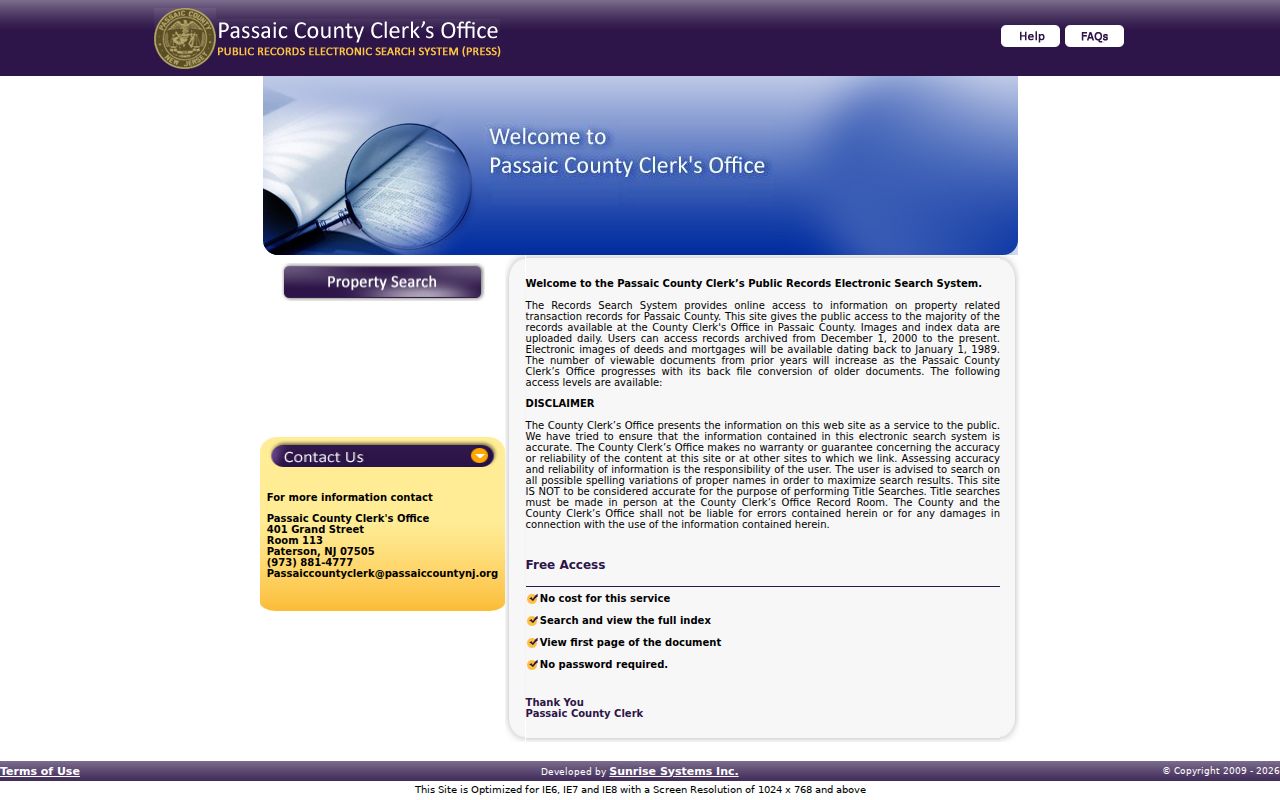
The search is documentary evidence, not a statement that a listed party occupied the property.
Tracing Passaic Deed History
The backward title trail starts with a current parcel identifier, not a guess from a surname. Use the county GIS or City-linked assessment record to obtain the municipality, block, lot, qualifier, and any PAMS identifier. Then search the Clerk for the most recent relevant instrument, read its cited prior reference, and repeat the process one document at a time. The County Clerk index contains deeds, mortgages, assignments, discharges, easements, judgments, liens, lis pendens, notices, powers of attorney, tax-sale material, UCC filings, and other categories. Those categories do not all represent ownership transfers.
- Locate the Passaic parcel and preserve the street form plus block, lot, and qualifier.
- Search the Clerk by block/lot or document and date for the most recent relevant instrument.
- Record the instrument number or book/page, recording date, document type, and party roles.
- Use the cited earlier instrument or the grantee's prior acquisition to step backward.
- When an older image is unavailable, ask the Registry Division about the official access route.
- Grantor
- The party who conveys or transfers an interest in a recorded instrument.
- Grantee
- The party receiving that interest. A grantee is not automatically an occupant.
- Chain of title
- The sequence of recorded transfers and related instruments for a property interest.
- Legal description
- The recorded property description used to distinguish a parcel when street wording changes.
Passaic Previous Residents Directories
For who lived here before, use the historical layer separately from the ownership layer. The PCHS holdings table identifies Passaic-inclusive volumes from 1867-68 through 1968, with gaps that must be checked before drawing conclusions. The 1915 V9 volume begins pink street pages with named streets, house numbers, and occupants. The 1922 V15 volume begins all-town street pages. These are useful breakpoints for comparing an address through time.
A directory entry can name an occupant, a business, a boarder, or another relationship the compiler recorded. Compare the target year with the next available volume, then test the match through a map, newspaper, church, school, cemetery, or census source. The historical collections themselves are described on the Passaic city directory page.
The National Archives 1930 city-directory guide identifies Passaic-area 1929-30 coverage and includes Clifton, Garfield, and Wallington.
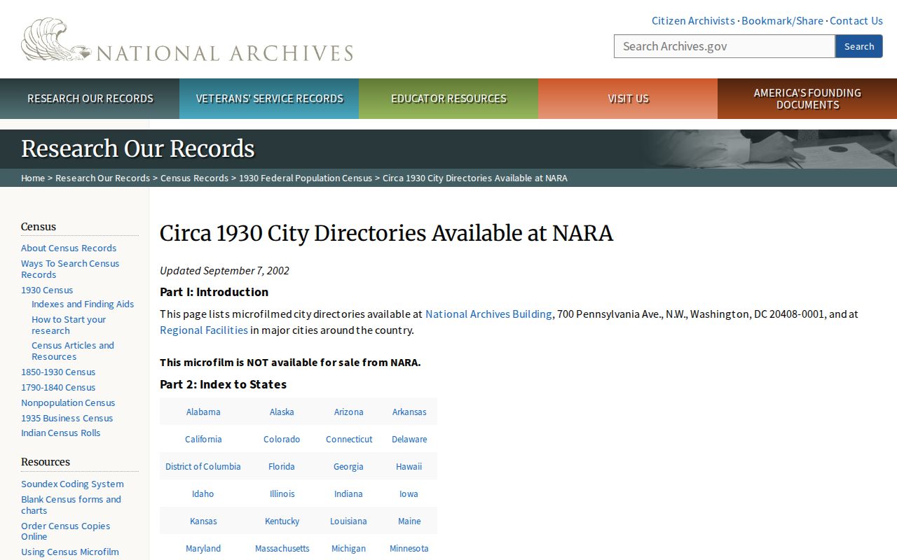
Broader directory titles should be checked for their listed municipalities before an address is attributed to Passaic City.
Passaic Maps Test Address History
The Library of Congress Passaic Sanborn map item helps test the physical setting of a historical address. It can show streets, building footprints, industrial parcels, alleys, and neighborhood form. It does not identify a household. Pair it with a directory or deed rather than using it as proof of a person's association with a location.
For an old downtown block, the City historical account adds useful setting. It describes Main and Van Houten avenues, streetcar connections to Newark and Paterson, and the Castle City Hall period. These place-history layers help explain why a directory, map, or newspaper may describe the same area differently at different dates.
Passaic Previous Address Sequence
For a historical Passaic address, reverse the usual modern-property order. Begin with the target year and the historic street text. Check PCHS first to learn whether a directory includes Passaic and whether the relevant volume has street pages. Record the printed name, address, and whether the entry appears in a household, business, or street context. Then use the Sanborn map and local newspapers to test whether the place was a residence, shop, mill, church, or civic building.
Only after that historical check should a deed or assessment record be used to explain parcel identity or ownership. The City records trail reflects dense streets, industrial growth, and layered institutions. A streetcar-era business district, a mill record, and a later parcel may describe the same place through different administrative lenses. Keep the event date, the record date, and the date of online access separate in every note.
This sequence is especially valuable where an old number, street abbreviation, or municipal reference does not match a current parcel search. Preserve both forms rather than overwriting the older wording.
Passaic Past Residents Evidence
The Library of Congress directory data project describes city and criss-cross directories chiefly from 1861-1960 and notes potential fields such as names, spouse, occupation, address, employer, business, and civic information. Use its field descriptions to interpret a directory record, but preserve the particular volume's page and title. A city directory is a privately compiled source, not a government enumeration.
PCHS adds newspapers, church material, school lists, cemetery material, and local history to the trail. The Society's microfilm includes the Passaic Sunday Eagle from June 2, 1940 through March 17, 1957 and the Passaic Citizen from January 3, 1957 through February 20, 1964. A newspaper item can corroborate a dated event, but the original page still needs review.
See the Library of Congress directory data collection for its historical directory field model.
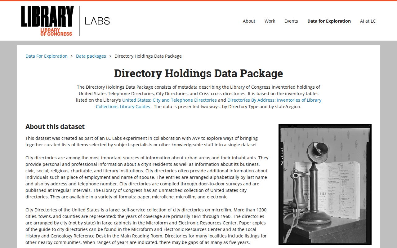
The field model shows why a name or address should remain linked to the record's date and type.
Passaic Public Library accepts local-history and obituary requests through its reference department. PCHS also preserves church, cemetery, Bible, family-file, and newspaper material. Request a narrow search by surname, address, year, and record type. A staff response may be an index, finding aid, transcription, image, or research note, and those formats should never be presented as interchangeable originals.
Note: An address disappearing from a directory can reflect a gap, an indexing change, or an omission rather than a proven move.
Passaic Previous Residents Alerts
The County's Property Fraud Warning System is an informational alert service. A subscriber can receive a match for a name or property, then verify the instrument number through the Clerk's index. An alert is not a finding of fraud. Keep the official index, document type, recording date, and party roles together before deciding whether an unfamiliar instrument needs a County question.
The Registry Division is listed at 401 Grand Street, Room 113, Paterson, with 973-881-4777. The land-records vault is at 77 Hamilton Street in the basement. Those access routes matter when an earlier reference is not available as an online image.
Passaic Previous Residents Limits
Ownership, historical occupancy, postal formatting, and present status are different questions. A grantee may never have lived at the address, a current assessment owner may be stale, and a directory name is tied to the volume's time period. Do not turn a record trail into a current contact list. Preserve protected addresses and avoid republishing sensitive identifiers, signatures, or restricted details.
Lawful use. Passaic previous-resident research fits family history, estate matters, property history, and civic research. Do not use a record trail to stalk, harass, or harm any person.
When the needed record is not online, make a narrow request to the custodian with the address, date range, block/lot, and instrument or document type. New Jersey Open Public Records Act access remains subject to redactions and record-specific limits.
Stop when the requested result would reveal a protected address, sensitive identifier, sealed matter, or a way around an access gate. The right next step is a targeted request to the holding office, not a broader search across unrelated records. That keeps the history tied to the public source that created it.