
Passaic Neighbors by Block
Passaic neighbors can be researched through geographic and historical records without creating a current household roster. County GIS defines parcels and blocks. Assessment data gives property context. Recorded instruments identify document parties and dates. Historic directories and maps show a past block at a particular time. Each source has a different scope, so a good block search labels the result rather than calling every name a neighbor.
| Source | What It Shows About a Block | Access |
|---|---|---|
| County GIS Parcel and Block layers | Parcel geometry, blocks, and technical parcel identifiers | Official map service and data-request route |
| City-linked TaxDataHub search | Property, owner, and block/lot/qualifier search context | City-linked assessment portal |
| County Clerk land records | Instrument references, document types, dates, and party roles | Official index and Registry access |
| PCHS directories and Sanborn map | Historic streets, addresses, buildings, institutions, and dated context | Historical repository and Library of Congress item |
| State voter status check | Individual registration status, not a block roster | Official individual query and County request channel |
Assessment ownership is not proof of current occupancy. GIS also does not display owner names in the inspected parcel fields. Use the map to understand adjacent land, then consult the appropriate custodian for the narrow record question.
Passaic Parcel Layer Fields
The County GIS service is titled Parcel Block Display Publish 2023. It has Parcel and Block layers and supports Query, Identify, Find, and Export Map. The service uses spatial reference 102711, with a minimum display scale of 1:5,000. These details matter because a county view and a Passaic block view do not expose the same useful context.
| PAMS_PIN | Parcel identifier used to crosswalk a street reference to the parcel record. |
|---|---|
| PCL_MUN | Municipality field, useful for confirming Passaic City. |
| PCLBLOCK and PCLLOT | Block and lot identifiers used with assessment and Clerk searches. |
| PCLQCODE | Qualifier field that separates parcels when applicable. |
| PCLLASTUPD | Displayed update field, distinct from the service publish title. |
Parcel geometry is geographic context. It is not a household list, and it should not be used to infer the private occupants of surrounding addresses. Save the layer title and date with a result, especially where a parcel line or address format has changed.
Mapping Passaic Neighbor Parcels
A narrow Passaic neighbor workflow moves from one address to the land records around it. It does not begin by collecting names. First normalize the address as needed, then use the parcel layer to identify the subject parcel and the neighboring parcel geometry. The next records should answer a defined property question, such as the official parcel identifier or a recorded instrument, not a request for every household near an address.
- Enter the address in the County GIS map and confirm the Passaic municipality field.
- Identify the subject parcel, the adjoining parcels, and each public block, lot, qualifier, or PAMS identifier.
- Use the City-linked assessment search for property or BLQ context, keeping its result date and status.
- Check the County Clerk by instrument, document/date, name/date, or block/lot when a recorded document is relevant.
- For older context, move to the historical directory, Sanborn map, or newspaper trail.
The full record chain for a named street has a different purpose and is available through the Passaic street directory. A block study should stay focused on adjacent parcels and historic place context.
Passaic Neighbor Property Context
The City assessor links to TaxDataHub for Passaic. Its inspection showed owner-name, property-text, block/lot/qualifier, classification, sale-date, sale-price, building-square-footage, and year-built filters. Those filters can help reconcile a parcel with property data, but they do not prove a current occupant. The portal also has a download warning and a displayed import date, so record the search mode and date with any result.
| Record category | Useful block question | Limit |
|---|---|---|
| Official parcel map and assessment record | Which parcel borders the address, and what property fields are displayed? | Does not establish present occupants. |
| Official recorded instrument | What document, date, and party role appear in the Clerk index? | A party role does not establish residence. |
| Commercial neighbor category | May offer a broad address association. | Accuracy, date, and source method may be unclear. |
When the map, assessment record, and deed index disagree, retain the difference and ask the relevant custodian which field is current. Do not choose the result that happens to match a preferred name.
Passaic Block Record Distinctions
One Passaic block can carry several kinds of address information at once. County GIS provides the modern geometry. The assessor-linked record provides a current property-data view. The Clerk records a document trail. A historical directory may describe a past occupant or a business, while a Sanborn map shows the built environment. These records overlap, but they should not be combined into a single claim about who is nearby today.
Use role words exactly. An owner appears in an assessment or transfer context. A grantor or grantee appears in an instrument. A directory name appears in the particular edition and may be attached to a home, shop, institution, or boarding arrangement. A parcel field describes land geography. That distinction makes a Passaic neighbor search more accurate and reduces mistaken identity when a surname recurs on nearby streets.
For each result, save the source title, access date, record date, parcel identifier if present, and a short note describing what the source does not establish.
Passaic Neighbor Voter Boundary
New Jersey provides an official individual voter registration status check. The text-only research did not expose the live form's exact inputs or fields, so the service should be described as a status check rather than as a source for a neighborhood list. A registration result is dated election-system information, not proof that someone currently occupies a nearby address.
The Passaic County Elections Division maintains voter-registration and mail-in-ballot list materials. Copies may be available for a fee and should be requested in advance. A focused request identifies the election, list type, municipality, ward or district, format, and date. State election rules exclude signatures, Social Security numbers, protected addresses, and other restricted information. Ask the custodian to apply the required redactions.
Note: Use voter records for the purpose and access channel the elections office provides, not as a reverse address list.
Passaic Neighbors in History
Historical sources offer a safer way to study how a Passaic block changed. The Library of Congress Sanborn map item can show building footprints, streets, industrial parcels, and neighborhood form. PCHS city directories can be compared by adjacent house numbers when the relevant pink street pages exist. They should be read as dated historical evidence, not a present-day roster.
The City historical material describes a thriving 1915 downtown around Main and Van Houten avenues, with streetcar links to Newark and Paterson. It also describes the Castle City Hall, which served from 1892 until late 1954 and held the main public library through 1941. Those facts help connect a block to civic and transportation history when a directory or map entry uses an unfamiliar institutional reference.
Passaic Neighbor Data Requests
If the current map does not answer a geographic question, request the specific public layer through the County's OPRA Center. The GIS program offers countywide and municipal files for boundaries, blocks and parcels, parks, points of interest, road centerlines, and address points. Ask for the layer name, municipality, format, fields, and publish date. A request for a public parcel or address-point layer is more precise than a demand for a list of people around a block.
The County map and data route supports a reproducible record of the block without remaking a person profile.
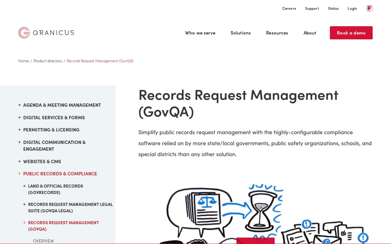
Include the parcel or street range and the intended geographic layer so the custodian can identify the right public record.
Passaic Neighbor Privacy Limits
New Jersey's Address Confidentiality Program provides a substitute address for eligible people. State and local agencies accept that substitute address for new records. It does not authorize anyone to reverse the substitute address through a map, property record, or directory. Preserve the suppression if a result reflects the program.
The ACP source explains the substitute-address protection for future records.
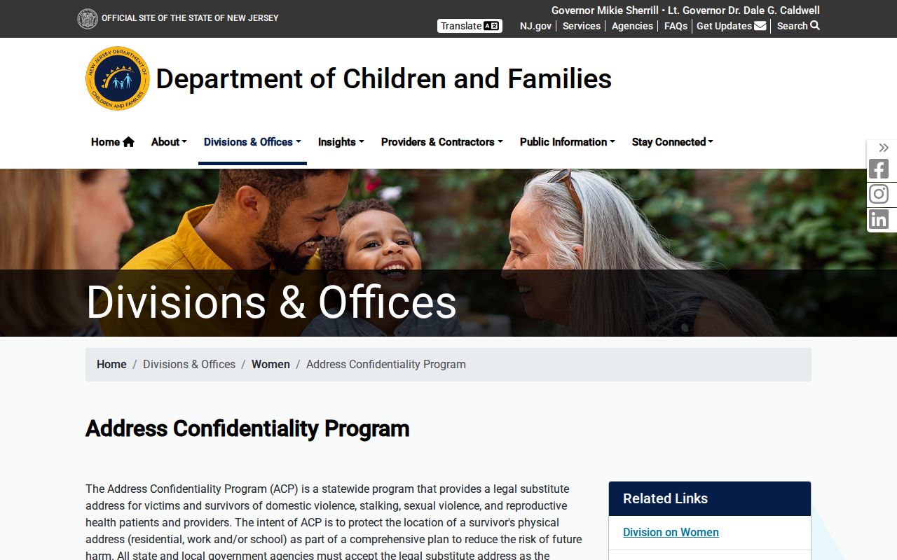
Protected address handling comes before any attempt to connect a name, parcel, or historical address.
New Jersey's Office of Information Privacy describes Daniel's Law protections for home addresses and unpublished telephone numbers of covered judicial officers, prosecutors, law-enforcement officers, and their immediate households, with later coverage for child-protective investigators. Route an eligible notice or removal question to the Office of Information Privacy. Do not publish a block list that defeats those protections.
An April 28, 2025 Office of Information Privacy announcement reported more than 10,000 covered people enrolled under Daniel's Law. That dated milestone shows why a Passaic neighbor workflow needs an active suppression check, even when a map or an older source appears easy to search.
The Office of Information Privacy is the official route for Daniel's Law information.
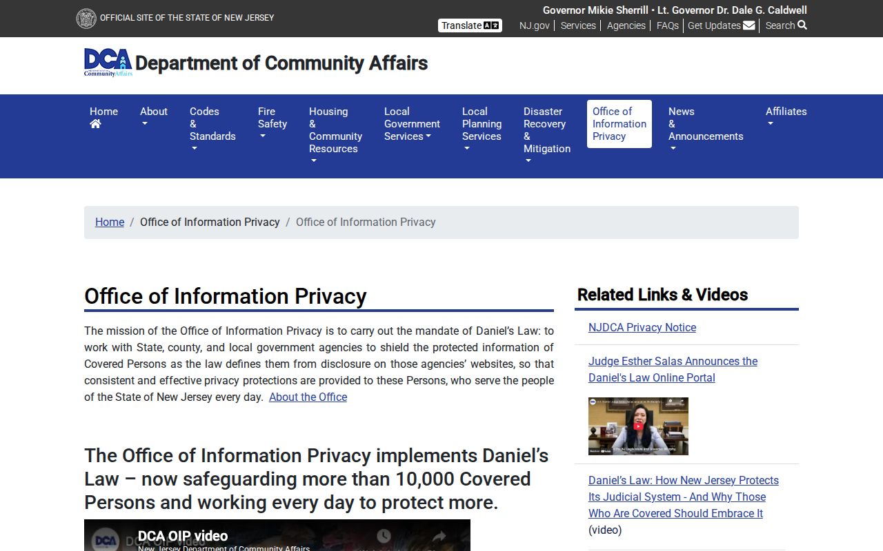
Privacy protection remains in force even when another public source appears to expose related location data or an older address reference.
Lawful use. Passaic neighbor research is for geographic, historical, civic, and personal safety context. Do not use it to stalk, harass, intimidate, or harm any person.